
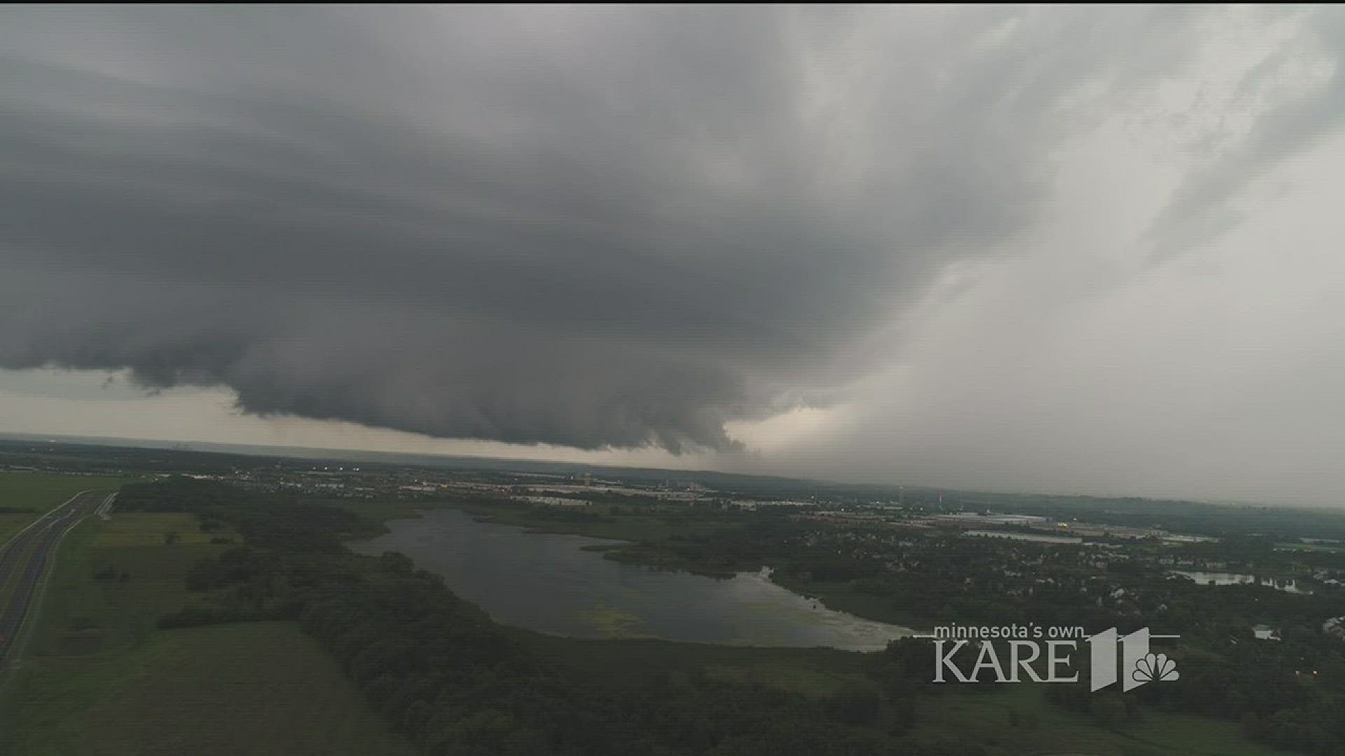
SHAKOPEE, Minn. - If you were in the south metro Tuesday night around 8 p.m., you may have seen this wall cloud. When it formed it was rotating, which could have eventually created a tornado.
Wall clouds can be anywhere from 1 mile to 5 miles wide, and they are in the inflow region of a super cell thunderstorm like the one we had last night.
"Wall clouds are areas in a thunderstorm where tornadogenesis, or the creation of a tornado will likely happen. When storm spotters saw this, they relayed it to the National Weather Service who issued the warning and continued to track the wall cloud as it moved southeast."
Wall clouds do not guarantee tornado development, but they do indicate where the tornado might develop at the base of the thunderstorm. Sometimes lower wall clouds that form may partially block the developing funnel cloud and tornado.
So if you see one, it's always best to seek shelter.