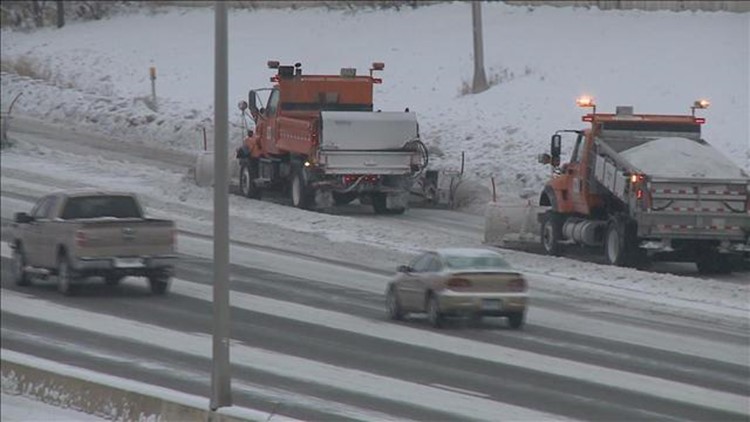
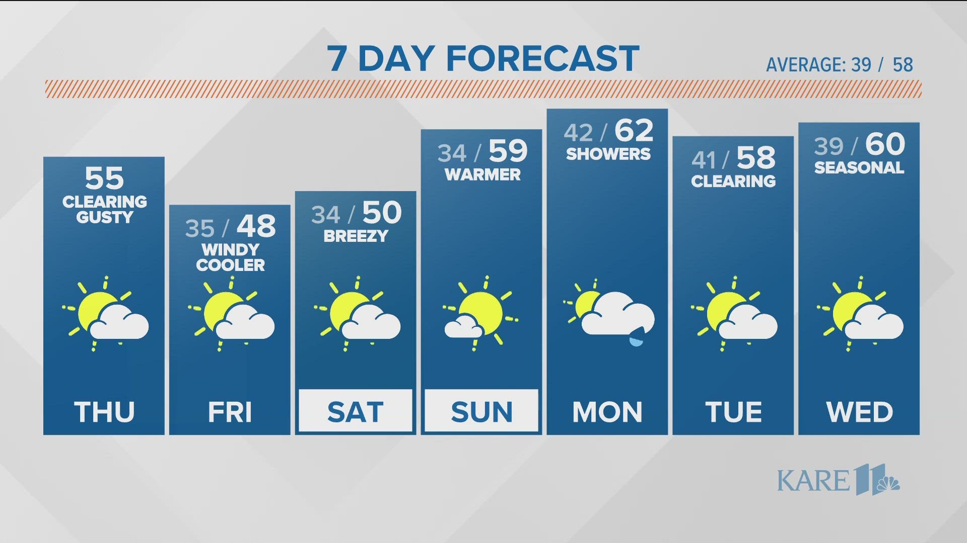
The next batch of snow is on its way to the Twin Cities. Snow looks to push into southwestern Minnesota Saturday morning and midday, reaching the Twin Cities by the afternoon. This timing has slowed a bit from previous model runs, keeping snow in the forecast through Sunday morning.
When all is said and done the trend of snowfall accumulations looks to be heavier snow south and far lighter totals north. Models have been consistently inconsistent with totals on this storm, with the disagreement coming on the location of that heavier snow band. It appears right now that the metro will fall in the 3" to 5" category for storm total snow. Those in the north metro can expect more in the way of 3" to 4" and south metro folks more of the 4" to 5" with isolated totals near 6".
Southern Minnesota will likely see some slightly higher totals, whereas cabin country across northern Minnesota have a better chance of 1" to 3" of accumulation.
Because of the cold temperatures, this is not snowman snow, but rather the light and fluffy kind that easily blows and drifts across your driveway. It also lends itself to excellent sledding.
Have a fun wintry weekend and stay tuned to updated forecasts as the snow approaches.
Get the latest weather info here: www.kare11.com/weather


