
GOODHUE COUNTY, Minn. — The latest installment of our KARE in the Air drone series continues down the Mississippi River Valley Flyway.
This one doesn't focus on a historic river city (Red Wing, Winona) but on a cool geographical feature that is unique to southeastern Minnesota.
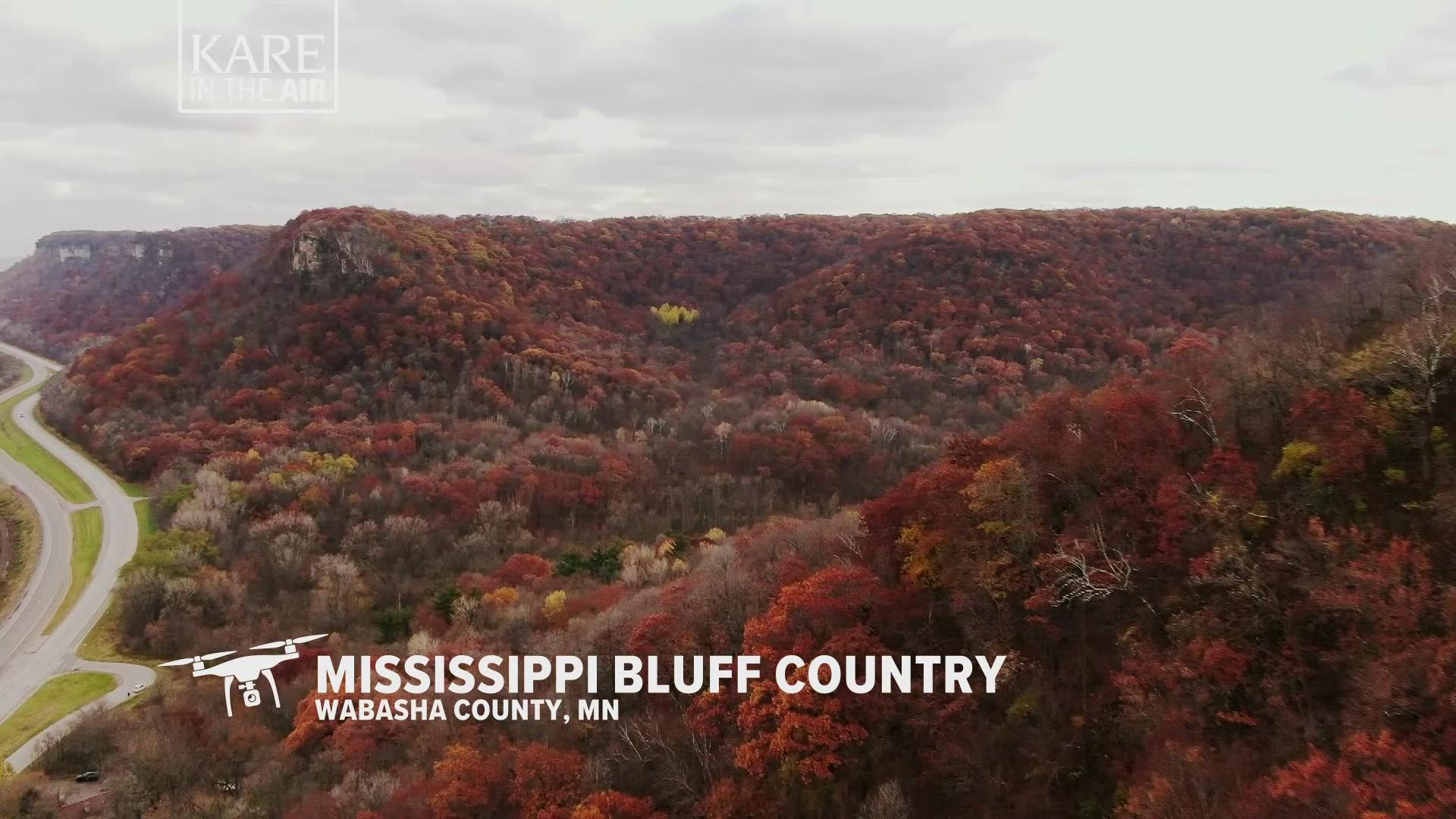
KARE 11 drone pilot Ron Stover shot this footage along bluffs that line banks of the Mississippi. According to Explore Minnesota, more than 10,000 years ago glaciers covered the entire state, except the southeastern corner. When those glaciers melted, moving water carved the deep valley of the region while sparing the soft limestone bluffs.
Today, the region is graced with a number of gentle rivers and streams that flow between the high wooded bluffs. The Root, Zumbro and Whitewater Rivers are beloved by canoeists, trout anglers, birders and other nature lovers.
Winding roads line the banks of the Mississippi from Red Wing all the way to Winona, making it a perfect scenic drive with stops in a number of historic towns.