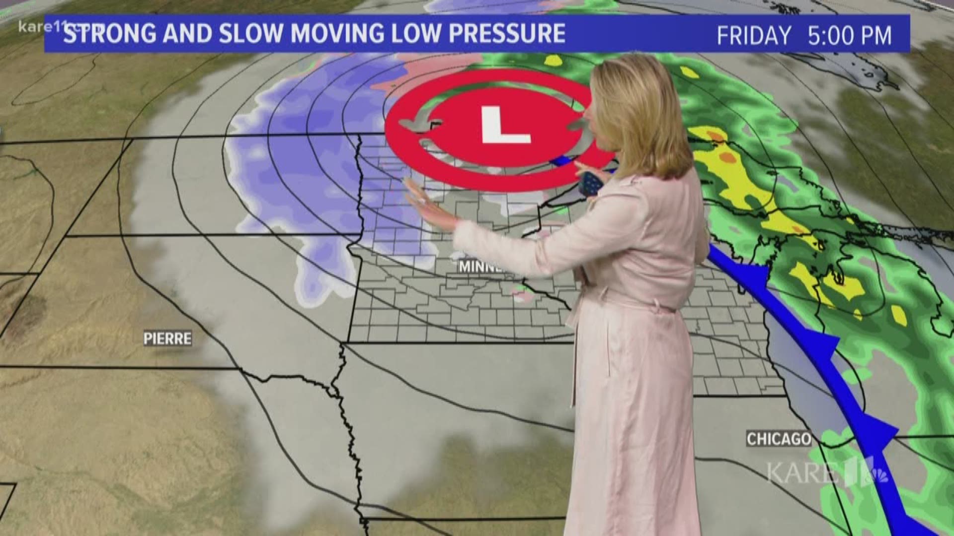
GOLDEN VALLEY, Minn. — A strong storm system is bringing the coldest air of the season to the upper Midwest, along with a dose of heavy snow and rain.
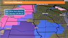
A winter storm warning is out for much of North and South Dakota, as well as the northwestern-most counties of Minnesota. Parts of eastern North Dakota could see one to two feet of heavy snow, along with high winds that could cause even more problems. In northwest Minnesota anywhere from 3 to 8 inches could fall in a swath from Fargo to Thief River Falls starting tonight into Friday morning.
Farther east we'll see on-and-off scattered rain showers today and tonight. The cold front sweeps through the metro beginning around midnight, dropping temps from around 60 to 40 degrees (brrrr!) in the early morning Friday. With winds near 20 mph, wind chills will plunge in the 20s. We can expect to see some wet snow flakes mix with rain showers Friday and Saturday, but no accumulation is expected in the eastern part of Minnesota.
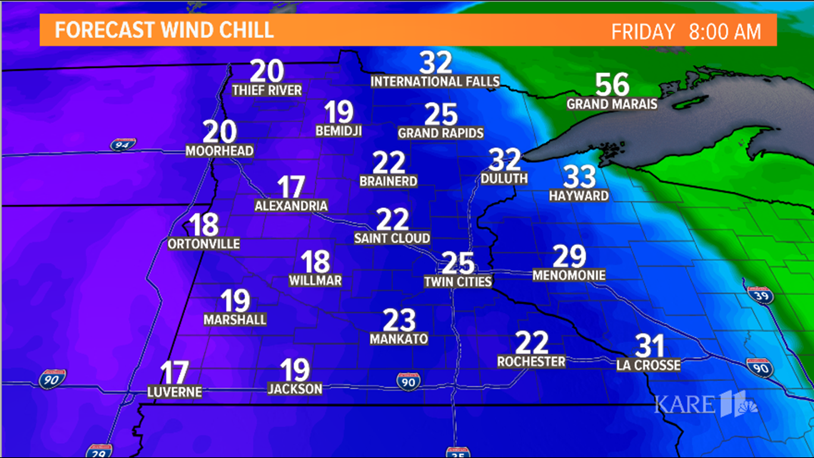
Communities as close as St. Cloud, however, could see a bit of slush on the grass Friday night. Temperatures will not climb out of the 30s on Saturday, and it will be a slow rebound next week, with temps making their way through the 40s to near 50 degrees.