
GAYLORD, Minn. — Hot and humid July weather provided the right ingredients for storms on Saturday evening in southern Minnesota.
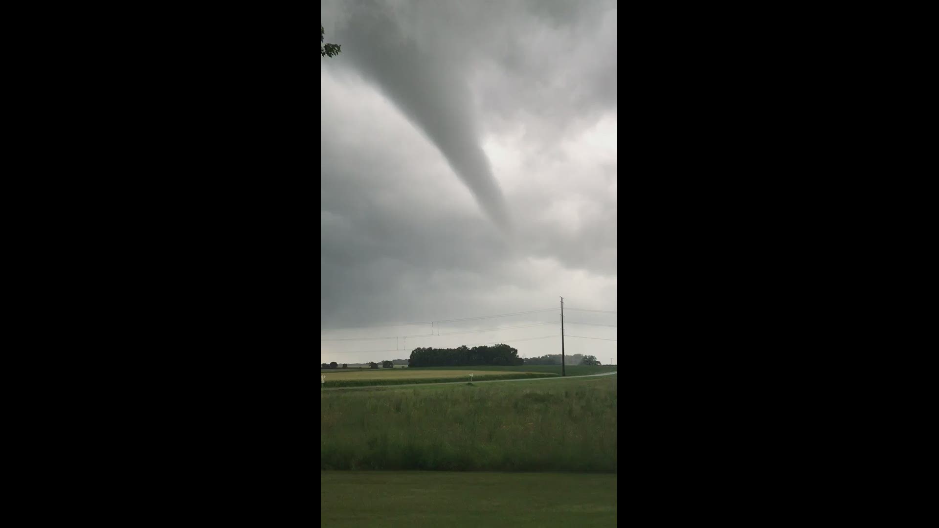
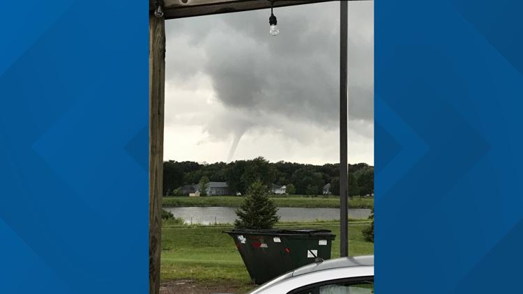
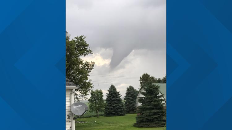
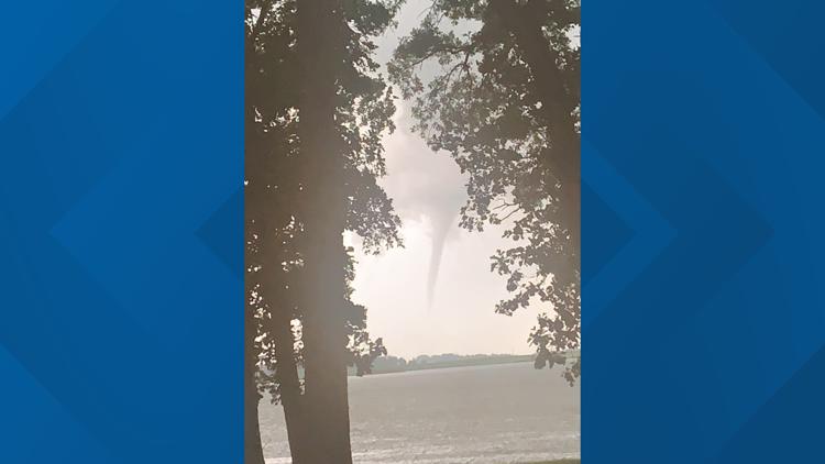
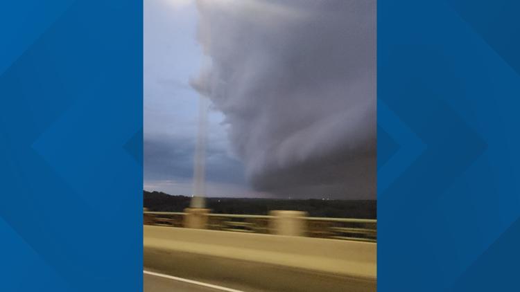
The National Weather Service (NWS) issued tornado warnings briefly on Saturday evening for portions of Sibley and Nicollet counties. NWS said spotters reported a funnel cloud that touched down briefly northeast of Gaylord just after 6:30 p.m.
Video sent by KARE 11 viewers showed the funnel and its possible touchdown.
KARE 11 meteorologist Ben Dery reported that heavy rain was also part of this storm system, with radar estimating two to three inches of rainfall over a period of a couple of hours. Flash Flood Warnings were later issued for several counties into the overnight hours, including Brown, Le Sueur, Nicollet, Renville, Scott and Sibley counties.
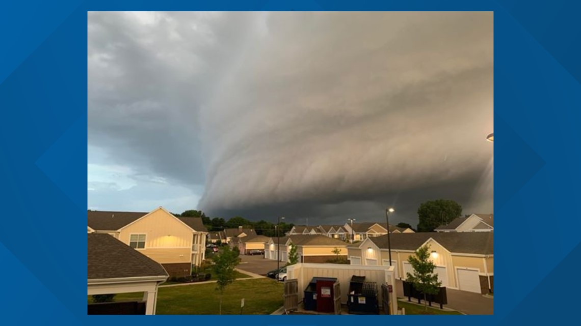
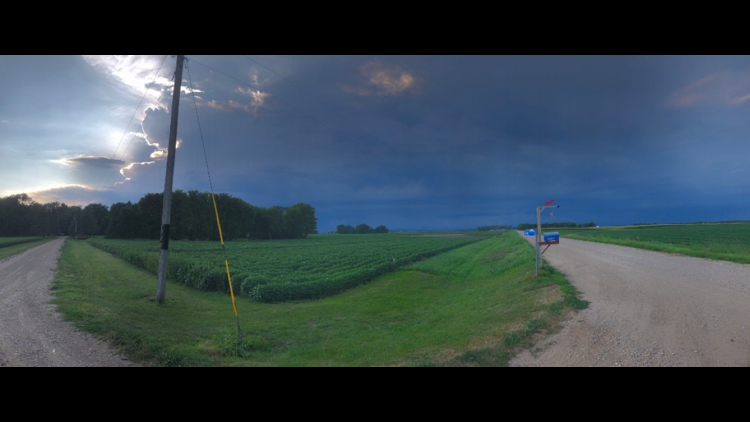
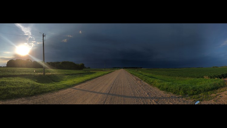
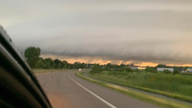
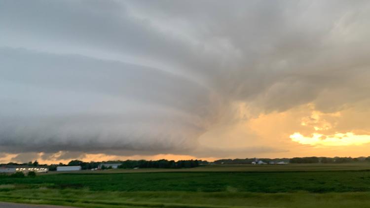
KARE 11 viewers in the southern metro shared photos of large shelf clouds as the system moved into the Twin Cities area.

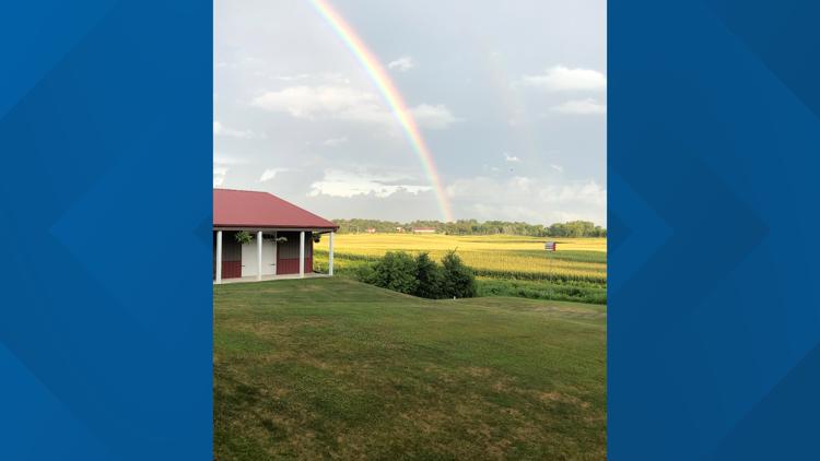
As the storms moved through the area, KARE 11 visual storyteller Aaron Adelson captured photos of a double rainbow outside Norwood Young America.
KARE 11 invites viewers to share storm photos and videos (when it is safe to do so) on the KARE 11 Facebook and Twitter pages, via the KARE 11 app, or by texting photos and videos to 763-797-7215.
Southern Minnesota storms - July 25, 2020


RELATED: WEATHER: Latest forecast