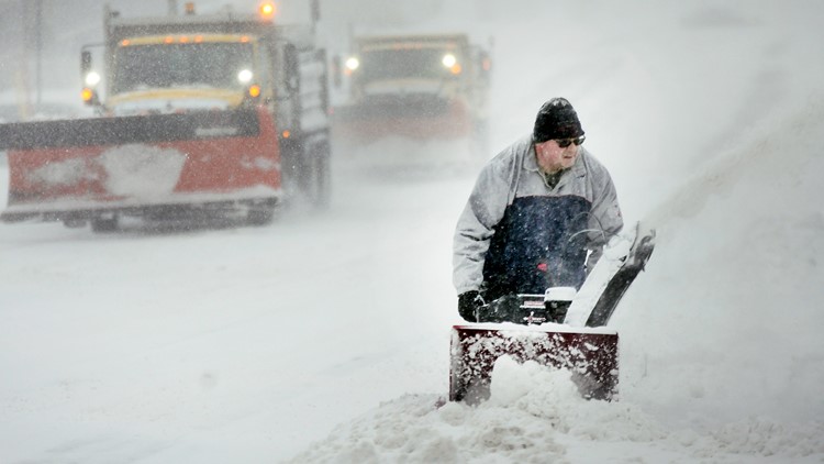
FARGO, N.D. — The first winter storm of the season to blast off from the Rockies was unloading its energy Thursday primarily in North Dakota, where it could dump up to 18 inches (46 centimeters) of snow and kick up winds as high as 50 mph (80 kph).
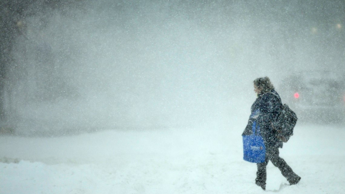
The system started with a round of freezing drizzle that made driving tricky in the Dakotas. It led to a chain reaction crash that totaled a state trooper's vehicle and closed Interstate 94 in eastern North Dakota for several hours Wednesday night and shut down I-29 in eastern North Dakota on Thursday morning.
Both interstates have reopened but travel was expected to become nearly impossible in some stretches due to whiteout conditions, the National Weather Service said. Flight delays and cancellations were being posted at airports across the region.
The storm was already hammering central North Dakota on Thursday morning. Jacqueline Swiftbird, a cashier at the Flying J truck stop in Mandan, said a semi-trailer that had been hauling other vehicles was stuck outside her window. She said she was the only cashier who could make it into work and that she picked up employees for restaurants and other shops in the travel center.

“It is extremely, extremely hazardous out there,” Swiftbird said. “I am really busy being the only cashier but I would rather not have any other employees try to make it here in these conditions.”
Storm warnings were issued Thursday for western Montana, for southwestern through northeastern South Dakota and for northwestern Minnesota, but meteorologist Carl Jones said North Dakota was getting the worst of it.
“Right now it's mainly driven by heavy snow amounts,” said Jones, who works out of the weather service's eastern North Dakota office in Grand Forks. “We are talking 1- to 2-inch per hour rates over a pretty wide swath.”
The crash involving the North Dakota trooper's vehicle happened about 6:30 p.m. Wednesday on I-94 near Jamestown, the state Highway Patrol said. The officer had gotten out of a vehicle after seeing a semi-trailer jackknife on the road and the patrol car was struck by a passenger car. The trooper was not injured.
There were seven additional crashes at the same location, all in quick succession. Several people were transported to a Jamestown hospital with injuries, including one person with a broken leg, the patrol said.
Jones, the meteorologist, said the first storm is always a learning or relearning experience.
“We kind of lean on that. That first storm, if you will, of the season, we really try to get the message out to be extra cautious,” Jones said. “We're really trying to remind people to practice good safe driving habits and get their winter survival kits into their vehicles."
READ MORE: Tropical Storm Nicole straddles Florida's Big Bend coastline; warning dropped for most in Tampa Bay
Watch more WeatherMinds:
Watch the latest deep-dives and explainers on weather and science in our YouTube playlist: