
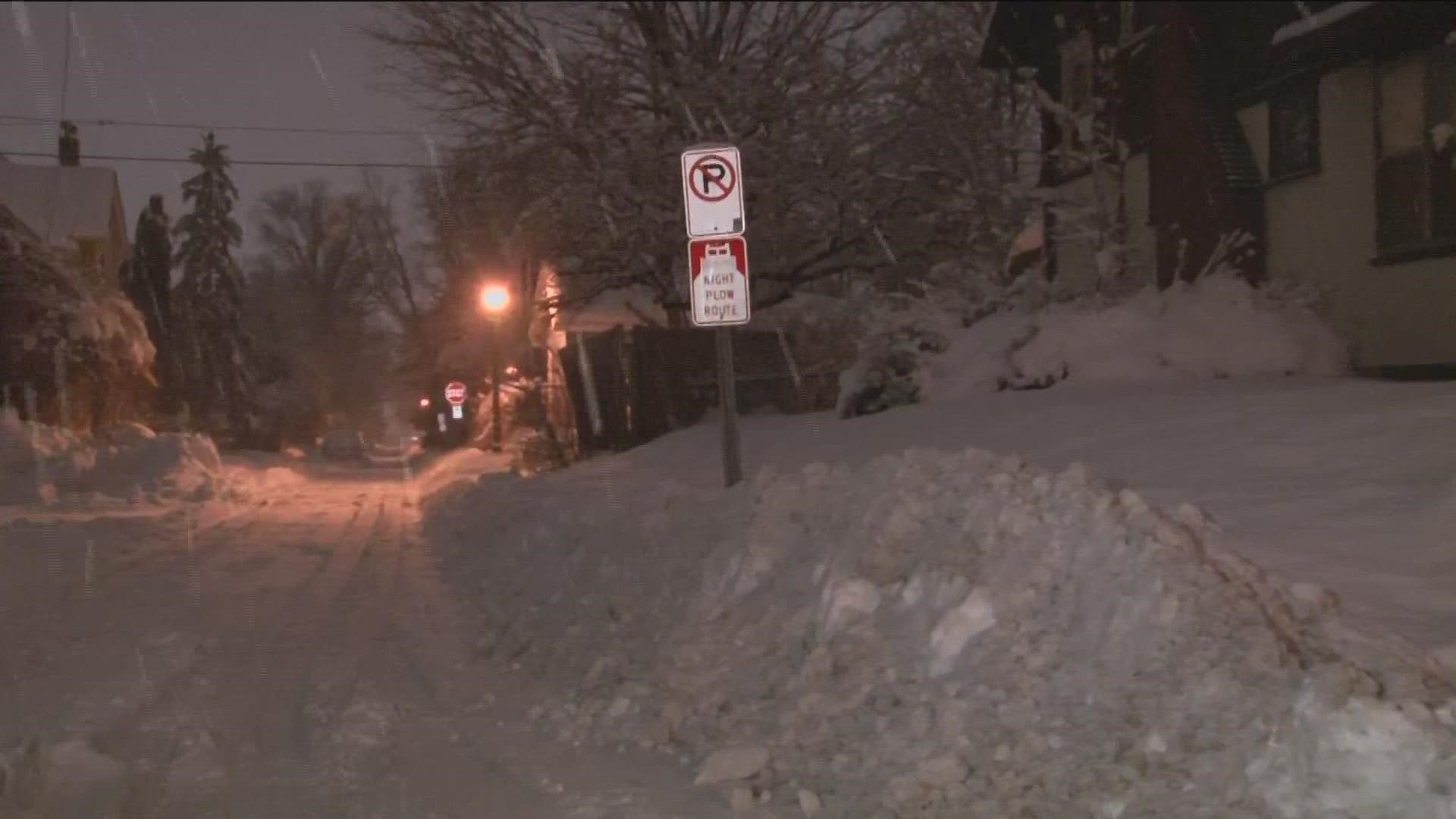
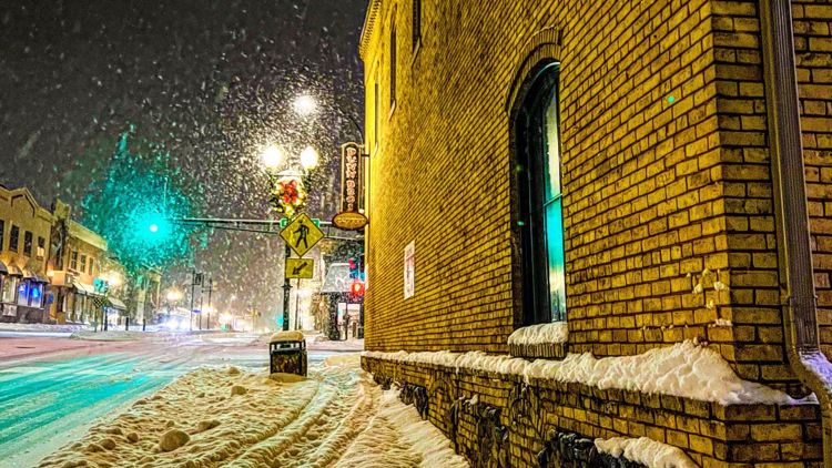
GOLDEN VALLEY, Minn. — If you feel like we've had a snowier-than-usual winter, you'd be correct.
In fact, it's the snowiest start to winter the Twin Cities has seen in 30 years.
And just five days into the month, we already had our snowiest January in five years.
KARE 11 meteorologist Ben Dery helped break down the numbers:
- As of Thursday, the storm total recorded at Minneapolis-St. Paul International Airport, the official climate site for the Twin Cities, was 15 inches
- Seasonal snowfall so far is 48.2 inches
- The average seasonal snowfall by this date is 20.4 inches
- And the average snowfall for an entire season is 51.2 inches
To cap it all off, we set a daily snowfall record on Wednesday, Jan. 4 with 8.8 inches. The old record was 3.2.
So no, you're not crazy – we really have had a ton of snow already.
But if you can believe it, it's been even snowier by this time of the year. If you lived in the area in 1991-92, you might remember a particularly snow-packed start to winter – that year saw 61.8 inches by this time, partly due to the infamous Halloween blizzard.
Pete Boulay with the Minnesota Department of Natural Resources State Climatology Office says understanding what our snowy start means for the rest of the season is difficult, especially because normal snowfall totals themselves have changed as the winter climate has warmed in the last several decades.
"A lot can happen between now and spring," Boulay said. "For at least right now, all the cold, bitter arctic air is locked up well north of the Canadian border. I'm not seeing any signs of a big arctic outbreak for a little while, but anything can happen in February."
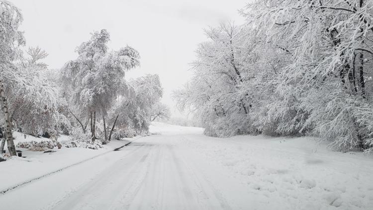
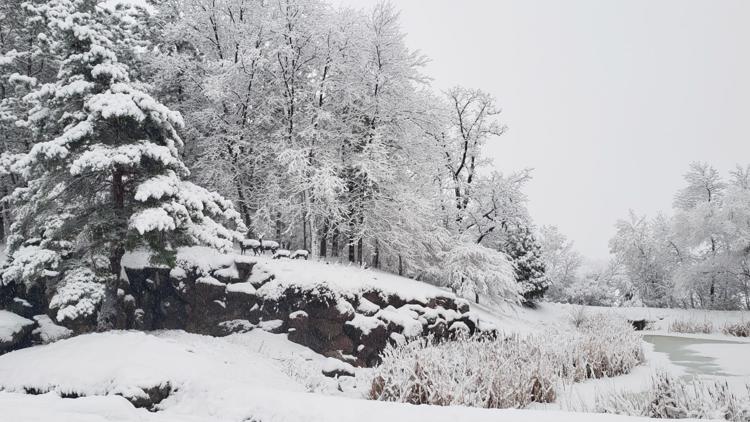
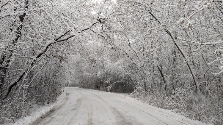
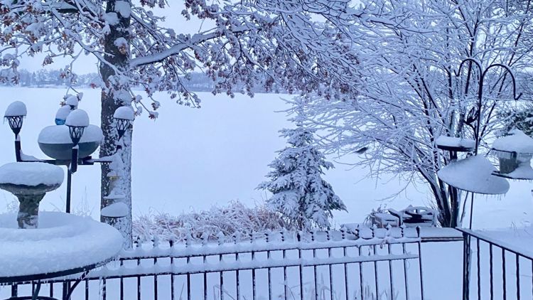
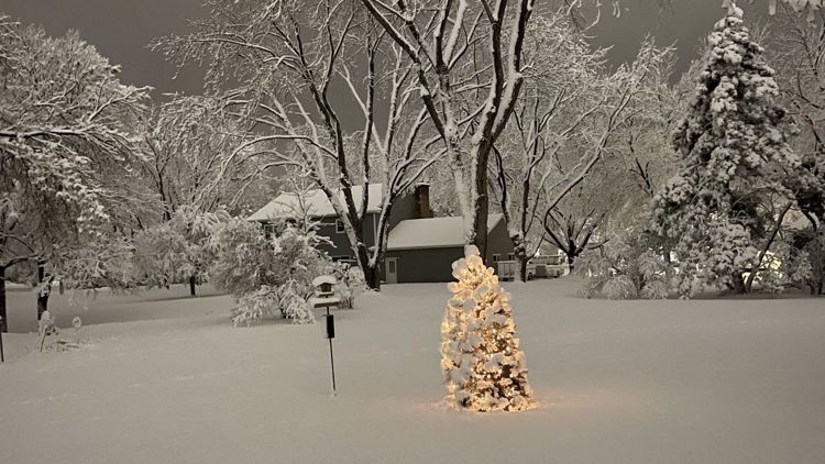
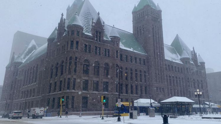
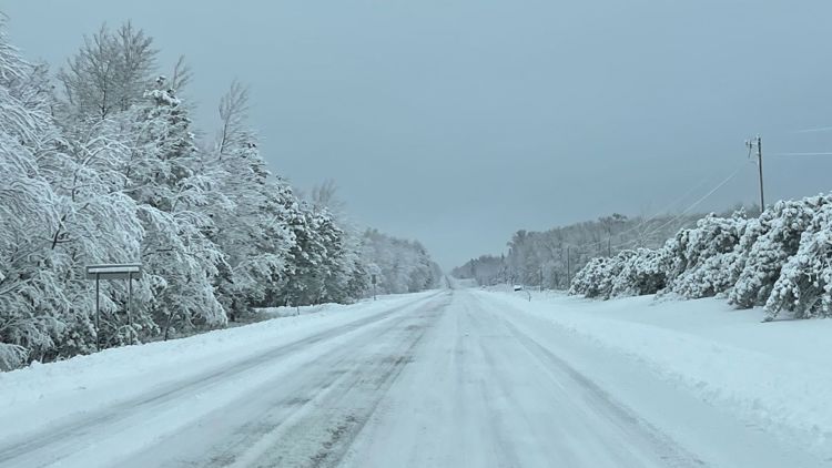
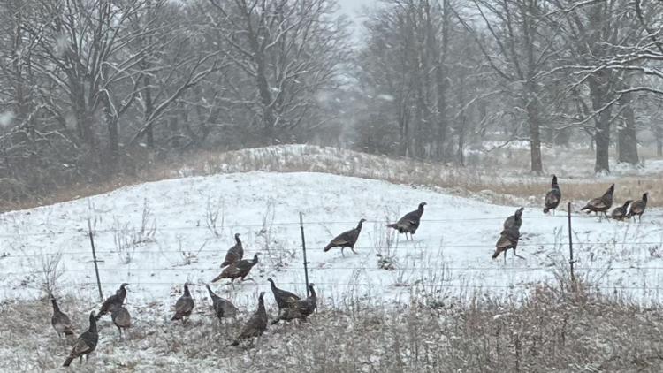
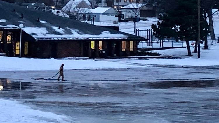
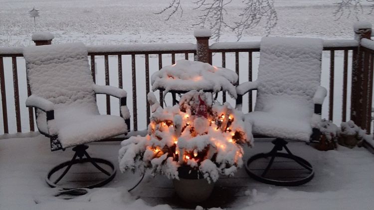
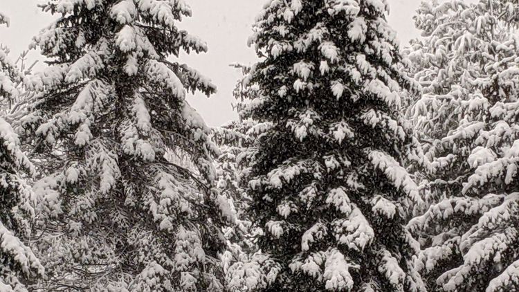
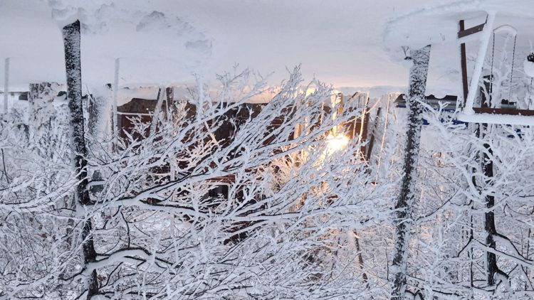
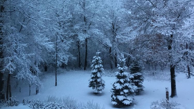
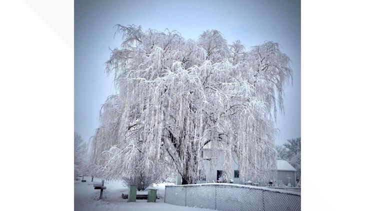
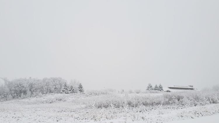
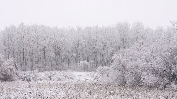
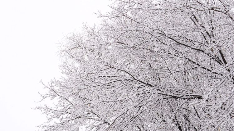
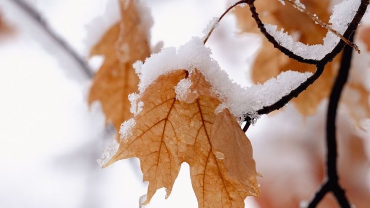
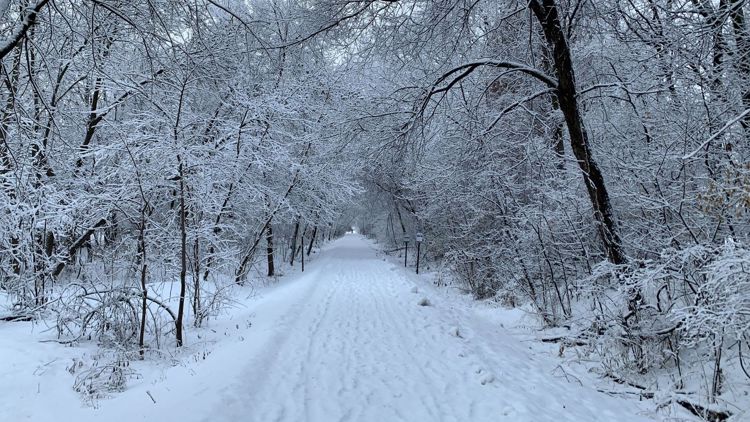
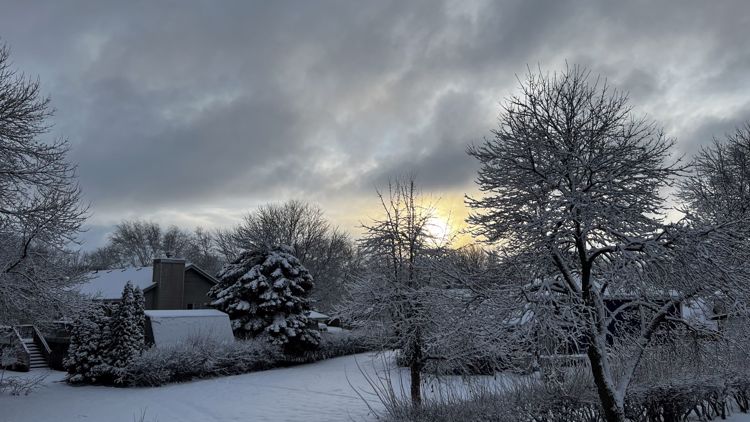
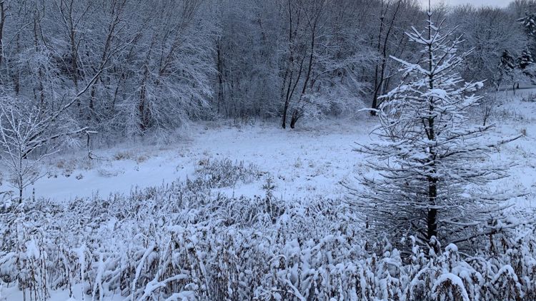
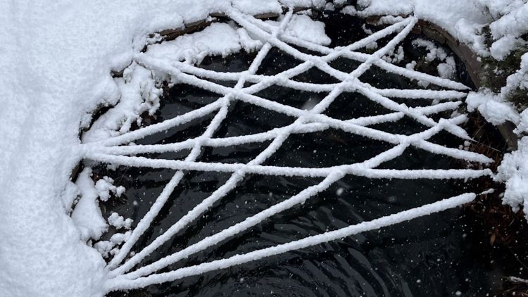
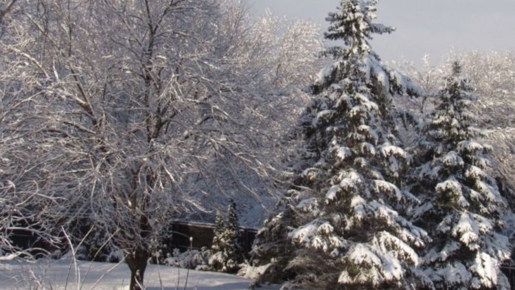
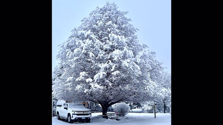
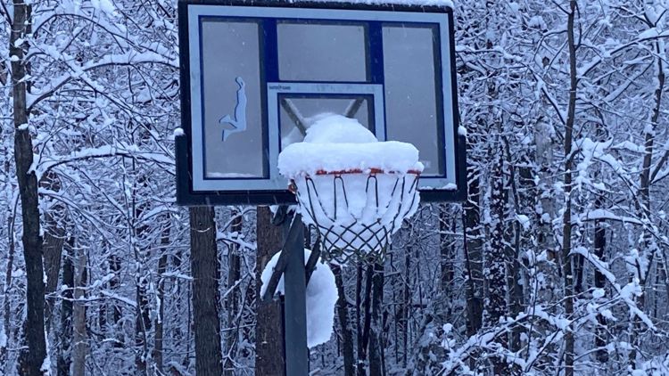
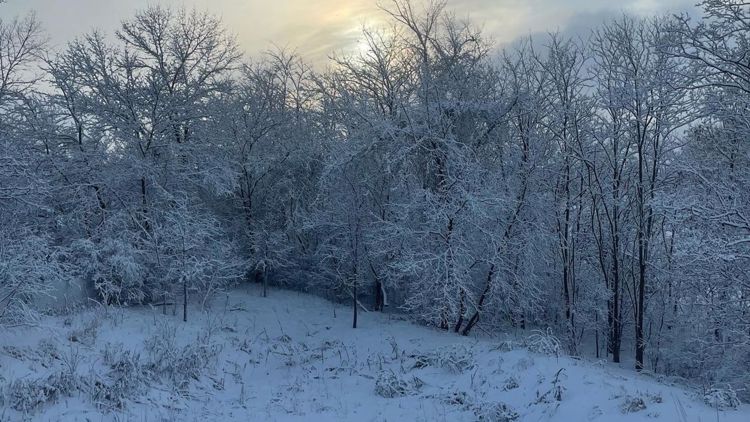
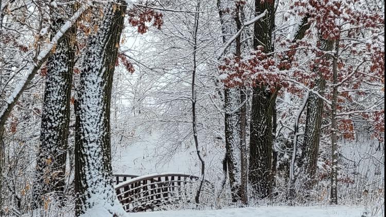
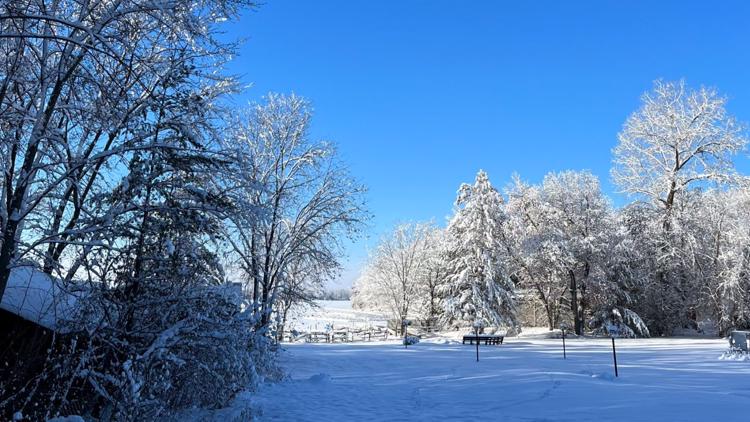
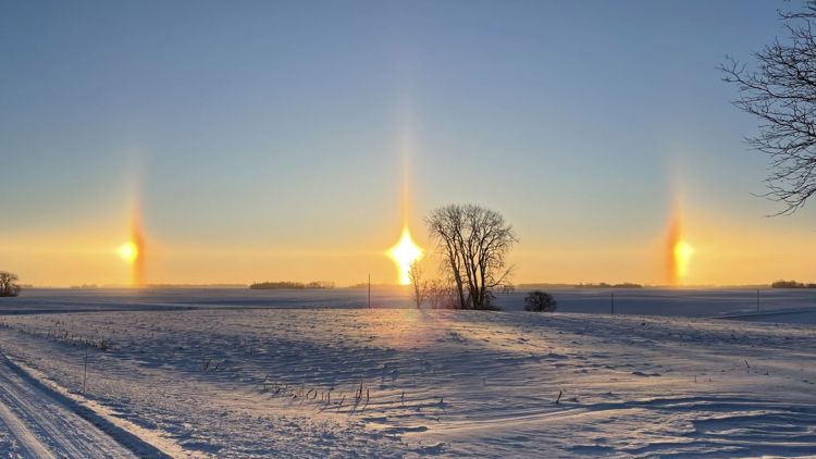
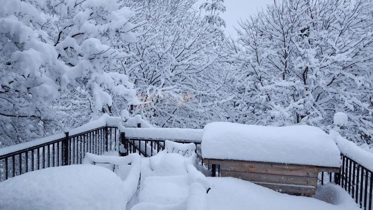
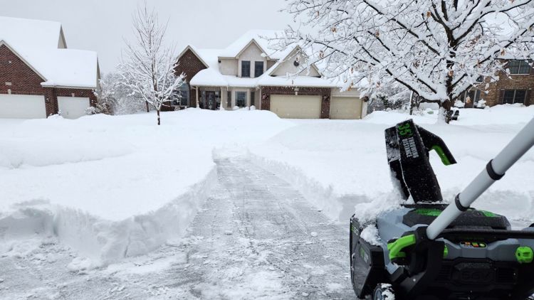
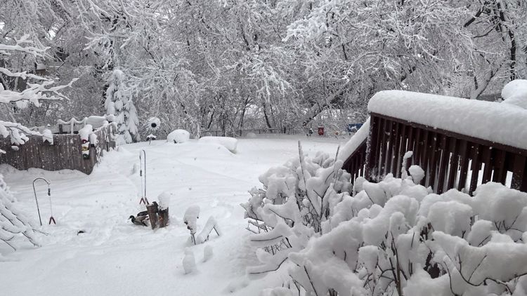
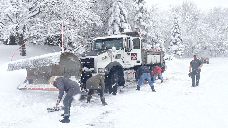
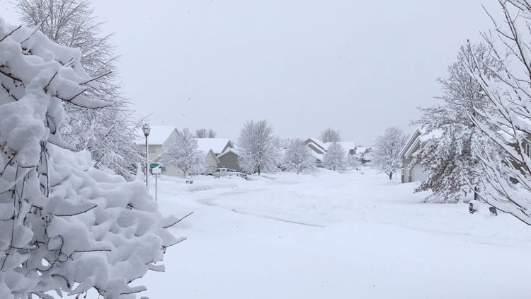
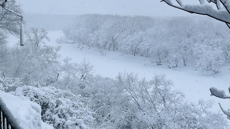
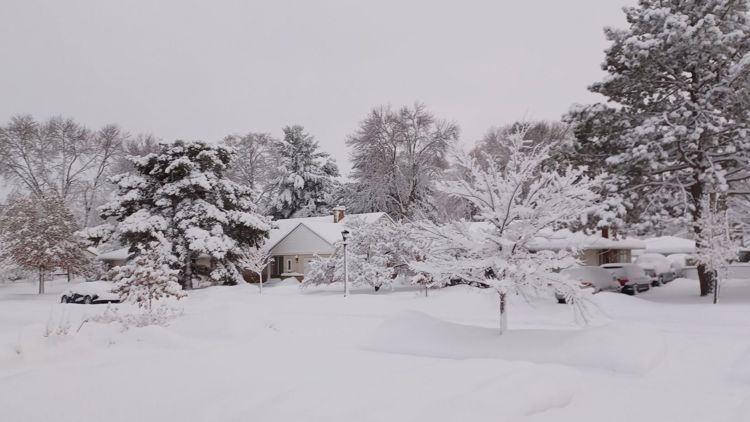
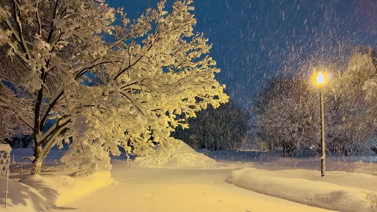
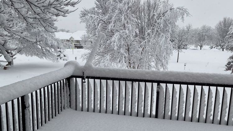
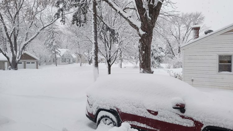
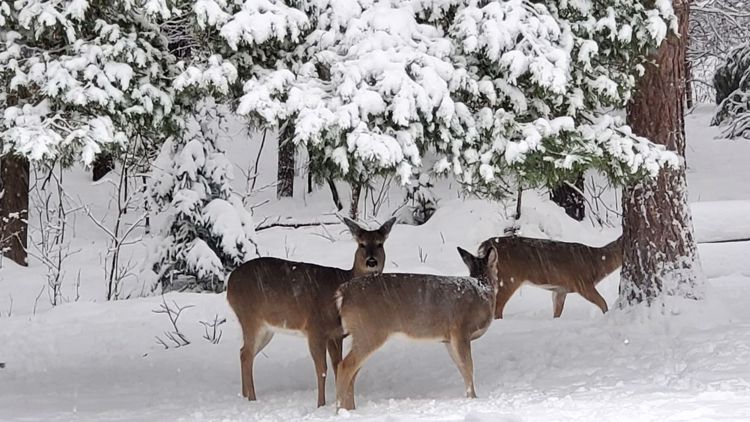
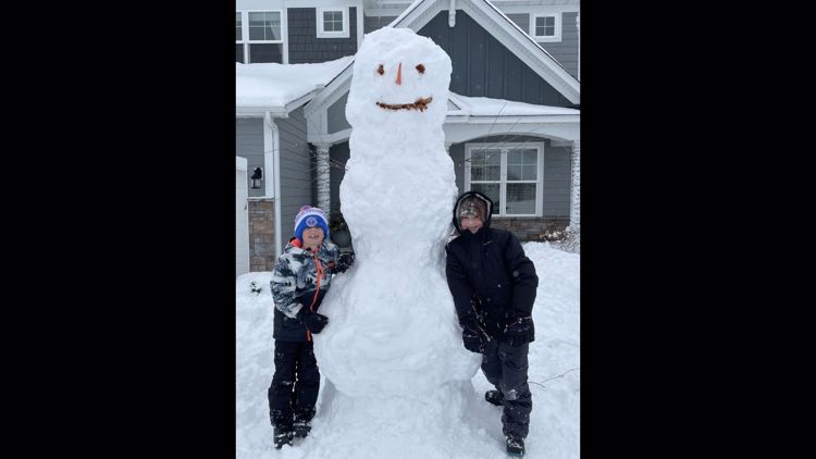
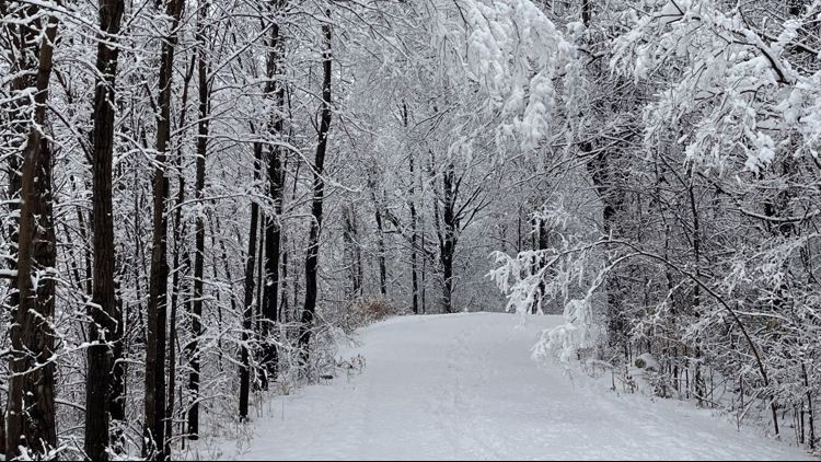
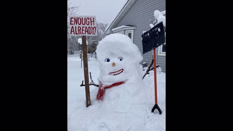
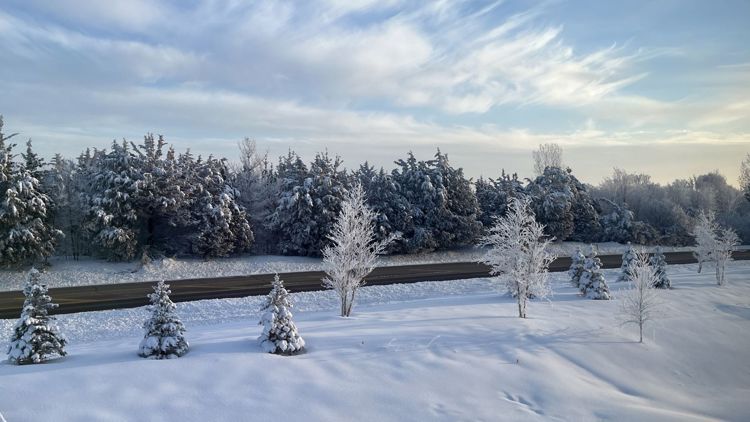
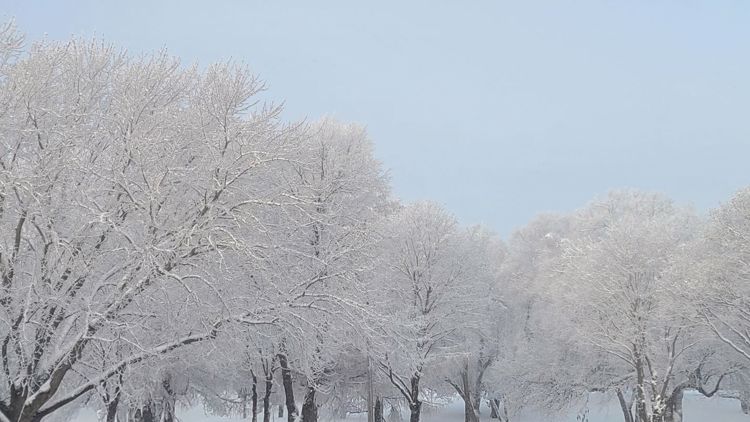
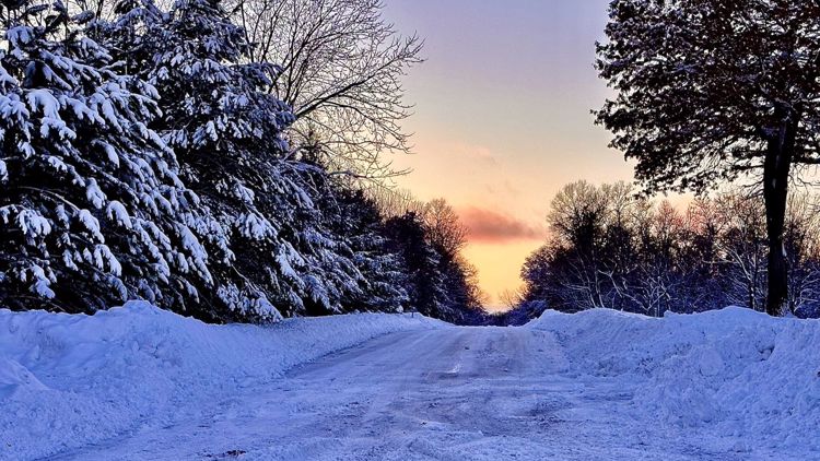
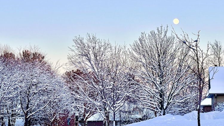
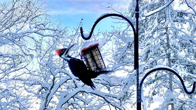
YOUR PHOTOS: Winter in Minnesota


Watch more WeatherMinds:
Watch the latest deep-dives and explainers on weather and science in our YouTube playlist: