

MINNESOTA, USA — Wintry mix showers have had an impact on roads around the region, especially from the Twin Cities metro area to southeastern Minnesota and western Wisconsin.
There have been reports of spin-outs and widespread icy spots, including sidewalks and parking lots. Be very careful when out on area roads.


This messy system of freezing drizzle and snow will be lifting to our northeast overnight. A Winter Weather Advisory will remain in effect for parts of central and northern Minnesota until 9am Sunday where freezing drizzle and light snow showers will linger into Sunday morning.


Temperatures will continue to slowly warm overnight as showers come to an end. Due to the recent showers, warm temperatures and light winds, there will be fog developing overnight.


There is a Dense Fog Advisory in place for those areas expected to experience visibilities below 1/4 mile. Communities in northern Minnesota may find icy conditions Sunday morning due to freezing fog. Be careful as you head out the door in the morning. Visibilities are expected to improve between 9am and 12pm.


Eventually we will see the mercury climb above freezing around the region. There will be light rain and snow showers moving across northwestern Minnesota with a chance of light rain or drizzle in central Minnesota possible reaching the Twin Cities during the evening hours.


Another weather system could bring a mix of rain and snow on Monday followed by another shot of light snow Tuesday evening into early Wednesday morning.


Text your weather-related photos or videos to 763-797-7215. While you're at it, save KARE 11 as a contact on your phone!
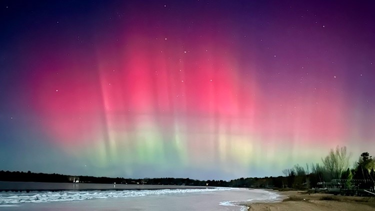
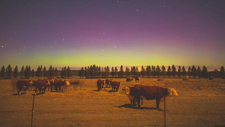
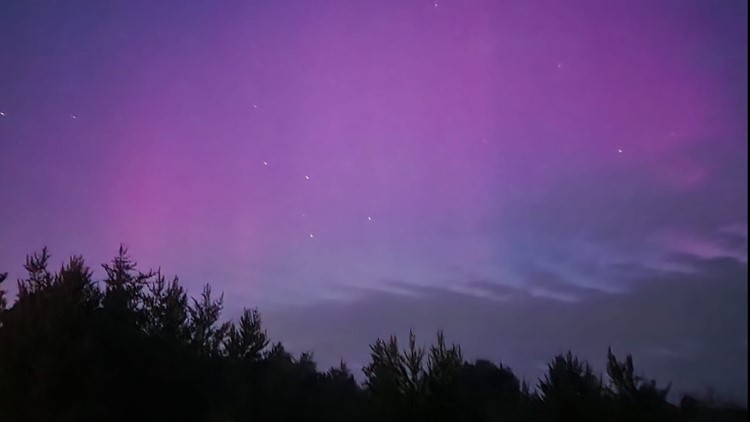
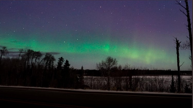
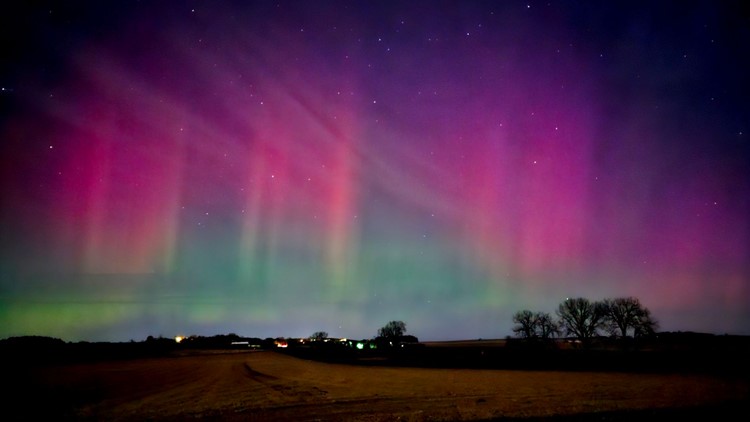
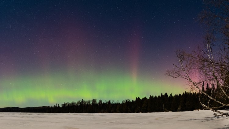
Northern lights dance across Minnesota, Wisconsin


WATCH MORE ON KARE 11+
Download the free KARE 11+ app for Roku, Fire TV, Apple TV and other smart TV platforms to watch more from KARE 11 anytime! The KARE 11+ app includes live streams of all of KARE 11's newscasts. You'll also find on-demand replays of newscasts; the latest from KARE 11 Investigates, Breaking the News and the Land of 10,000 Stories; exclusive programs like Verify and HeartThreads; and Minnesota sports talk from our partners at Locked On Minnesota.
- Add KARE 11+ on Roku here or by searching for KARE 11 in the Roku Channel Store.
- Add KARE 11+ on Fire TV here or by searching for KARE 11 in the Amazon App Store.
- Learn more about the KARE 11+ app for Apple TV in the Apple App Store.
- Learn more about KARE 11+ here.
Watch more WeatherMinds:
Watch the latest deep dives and explainers on weather and science in our YouTube playlist:

