
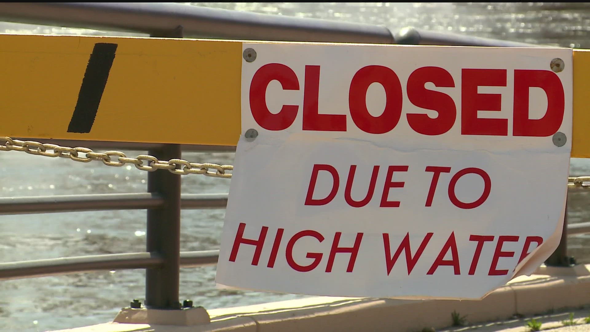
GOLDEN VALLEY, Minn. — Minnesota communities are facing flood threats as spring melting and rain pump more water into rivers across the state.
Below are some of the major rivers and regions to watch that are forecast to reach moderate and major flood stages throughout the week.
The St. Croix River at Stillwater, Minnesota and Hudson, Wisconsin reached a "major" flood stage Wednesday morning at 88.9 feet. The river is forecast to crest over the weekend at 89.5 feet, according to the National Weather Service.
The South Fork Crow River at Delano reached major flood stage on Tuesday and hit its crest at 19.1 feet on Wednesday, April 18. Levels are forecast to remain above major flood stage for the next several days before dropping over the weekend.
Minnesota River in southwest/west-central Minnesota
The Minnesota River at Montevideo remains in the major flood stage after cresting at 19.44 feet on Monday, April 17. As of Wednesday, levels are dropping but there's still major flooding at 18.9 feet.
Farther south near Morton, river levels are creeping into major flood stage Wednesday. Around 10 a.m., the level hit 26.2 feet and is forecast to crest at 26.3 feet in the next day.
Mississippi River: Aitkin to St. Cloud
While the stretch of the Mississippi north of the Twin Cities is not forecast to reach a major flood stage, the region did experience moderate flooding this week.
In Aitkin, river levels are sitting at a moderate flood stage of 16.4 feet Wednesday and are expected to crest at 17 feet over the weekend. Major flood stage is 18 feet.
Flood levels in St. Cloud dipped into the minor flood stage earlier this week.
The Mississippi River in St. Paul reached moderate flood stage on Wednesday at 15.3 feet, and is forecast to surpass major flood stage over the weekend.
The National Weather Service is currently forecasting the highest level to be 18.4 feet on Tuesday, April 25.
In preparation for major flooding, the Metropolitan Airports Commission (MAC) extended a temporary wall at Holman Field, St. Paul's Downtown Airport. MAC officials temporarily shut down takeoff and landing operations on the main runway Tuesday so crew could add on to a 2/3-mile metal plank floodwall system designed to hold back the Mississippi River.

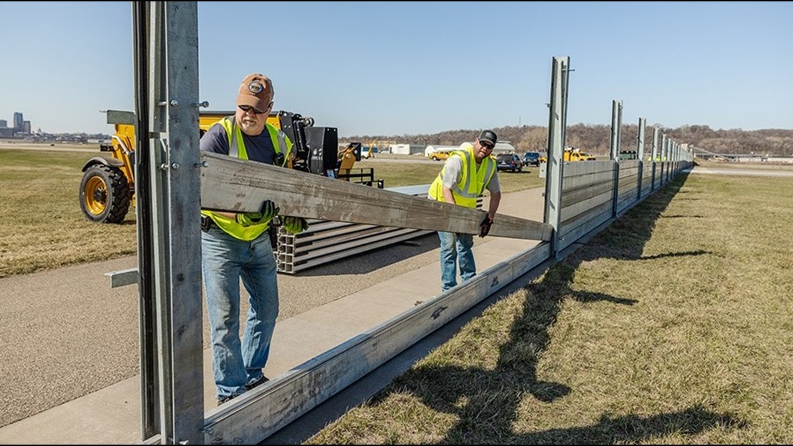
Two secondary runways have also been closed, and will remain so until flooding recedes.
Downriver from St. Paul, Hastings, Red Wing, Wabasha and Winona are forecast to reach major flood stage in the next week, while Lake City and Minnesota City are likely to experience moderate flooding.
In Red Wing, water levels are forecast to reach 17 feet over the weekend, well above the major flood stage threshold of 16 feet.
Watch more WeatherMinds:
Watch the latest deep-dives and explainers on weather and science in our YouTube playlist:
WATCH MORE ON KARE 11+
Download the free KARE 11+ app for Roku, Fire TV, and other smart TV platforms to watch more from KARE 11 anytime! The KARE 11+ app includes live streams of all of KARE 11's newscasts. You'll also find on-demand replays of newscasts; the latest from KARE 11 Investigates, Breaking the News and the Land of 10,000 Stories; exclusive programs like Verify and HeartThreads; and Minnesota sports talk from our partners at Locked On Minnesota.
- Add KARE 11+ on Roku here or by searching for KARE 11 in the Roku Channel Store.
- Add KARE 11+ on Fire TV here or by searching for KARE 11 in the Amazon App Store.
- Learn more about KARE 11+ here.